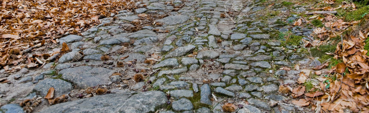
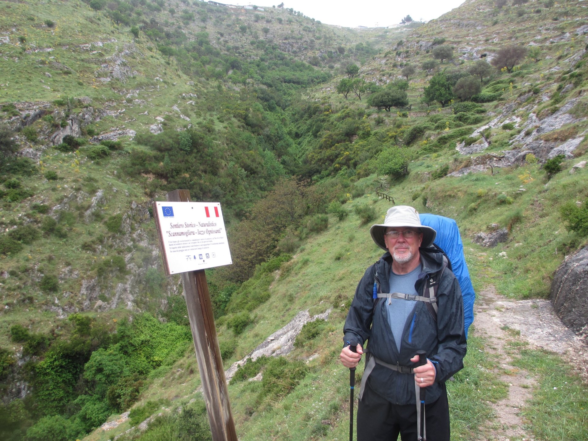
The path through Monte Sant' Angelo can be confusing. Get, somehow (!) to the south side of Monte Sant' Angelo, to the end of Via Sant' Antonio Abate. Turn left at the water treatment plant, and follow the well marked trail down. This is not a path to be taken on a rainy day. (Signs in Italian point this out--much farther down!). The first part of the path follows the Scanna Mugliera, the ancient way used by pilgrims climbing up to Monte Sant' Angelo. Be glad you're going down! Near the bottom, the tracks join a dirt road (the Via Scannamugliera!) which leads to the intersection of Strada Provincial 55. It took us about three hours to reach this point from the Santuario.


View the embedded image gallery online at:
http://www.oldpaths.global/index.php/maps-and-stages/monte-sant-angelo-to-bari/29-23-monte-sant-angelo-to-sipponto#sigProId7c868cef55
http://www.oldpaths.global/index.php/maps-and-stages/monte-sant-angelo-to-bari/29-23-monte-sant-angelo-to-sipponto#sigProId7c868cef55