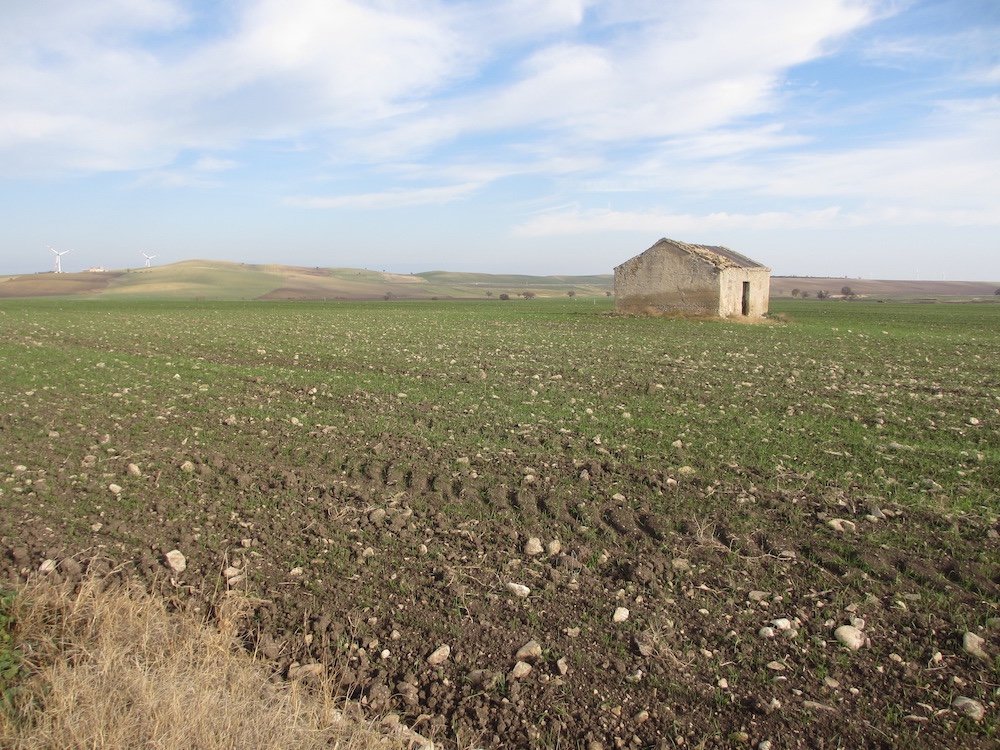
Lucera is visible in the distance from Troia. The path descends from Troia roughly following the Via Sant' Antonio. Near the bottom of the hill, After a farm path which goes to the east of the hill, Monte Cigliano, the path leads across a paved road and then out into the open country. Soon after the road there is the first (and easiest) of two stream crossings on this stage. Until the next stream crossing there are great vistas and plenty of opportunities for mud. The second stream crossing probably will involve wading. After this crossing the road heads straight to Lucera.
Lucera’s history goes back to the Bronze Age. Its strategic heights were occupied by the Etruscans and Samnites and became a Roman colony in 320 BC. When Frederick II expelled all Muslims from Sicily, many were transferred to Lucera which thrived for seventy-five years until Charles II of Naples conquered the city in 1300. It was the last stronghold of Islamic presence in Italy.
The Roman Amphitheater, medieval Castle and Cathedral are Lucera’s main sights.


http://www.oldpaths.global/index.php/maps-and-stages/benevento-to-monte-sant-angelo/19-18-troia-to-lucera#sigProId4b68a92929